2026-08-06
Infrared technology is giving modern cities a broader way to perceive and respond to what is happening across complex urban environments. By capturing thermal information beyond the visible spectrum, it supports continuous monitoring in low light, darkness, smoke and difficult weather. From traffic flow and public safety to environmental sensing and emergency response, infrared systems add another layer of situational awareness that helps cities make faster, better-informed decisions.
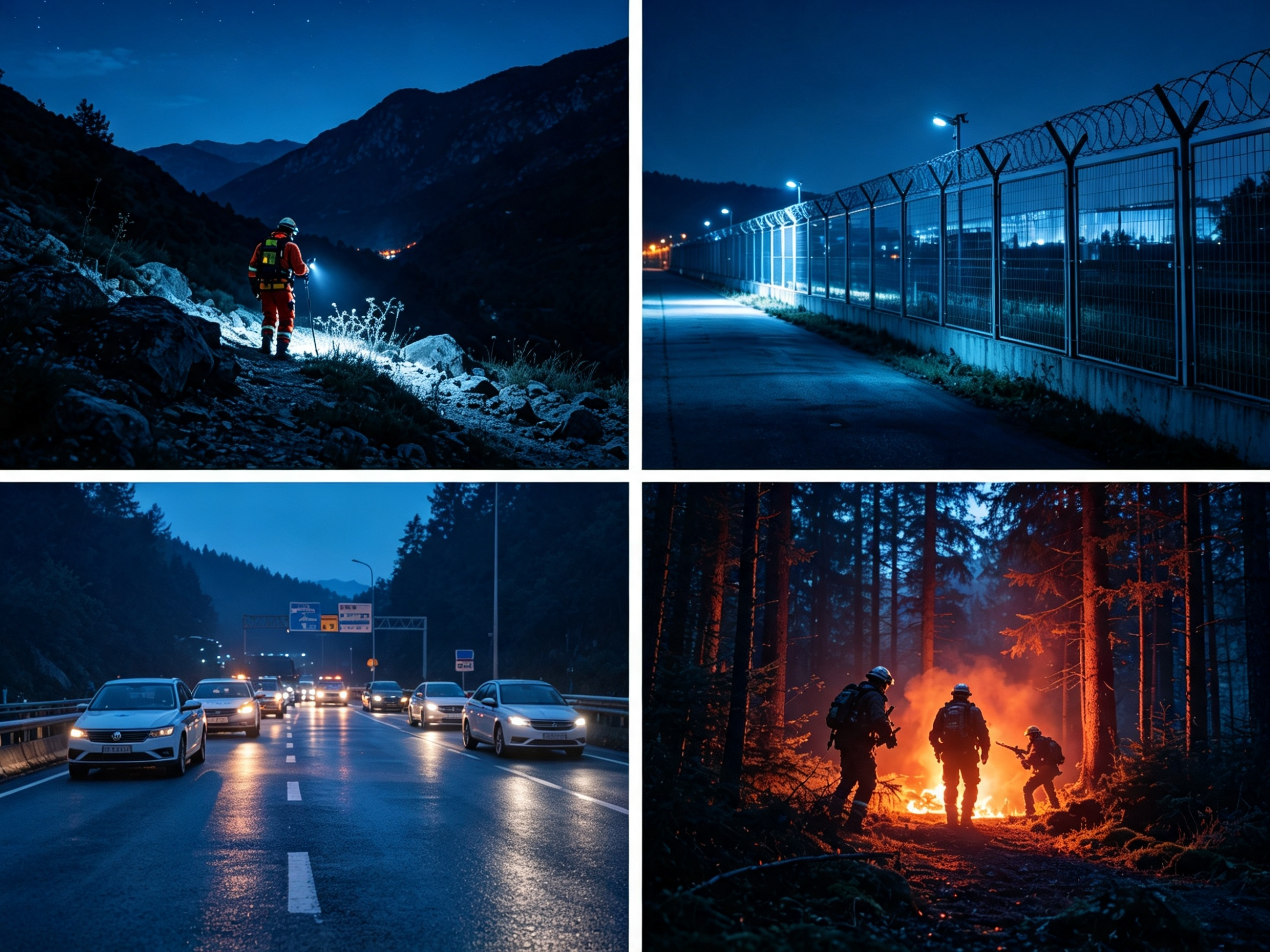
In traffic management, thermal imaging supports continuous vehicle monitoring, congestion analysis and incident detection without depending on daylight or visible contrast. It can also improve pedestrian and cyclist safety by identifying human heat signatures near crossings and helping connected traffic systems respond more quickly to potential hazards.
Public safety applications are expanding as well. Thermal cameras can protect airports, power facilities, transport hubs and water infrastructure by detecting unauthorized entry across large or poorly lit areas. During emergencies, thermal imaging mounted on drones or mobile platforms can help locate missing people and survivors more efficiently, particularly in darkness, dense vegetation or smoke-filled environments.
Infrared thermography also supports predictive maintenance across urban infrastructure. Electrical networks, substations, transformers and power lines can be inspected for abnormal heat patterns that may indicate loose connections, excessive loads or early equipment failure. Building inspections can reveal insulation loss, hidden moisture and overheating components, allowing maintenance teams to address problems before they lead to major disruption or costly repairs.
Environmental monitoring is another important area of development. Specialized infrared sensors can detect gases such as carbon dioxide and methane, supporting emissions monitoring, pipeline inspection and urban air-quality management. Thermal mapping can also reveal heat concentration across buildings, roads and industrial zones, giving planners better data for reducing urban heat islands through vegetation, reflective materials and improved land use.
Fire detection and emergency response remain among the most valuable uses of infrared technology. Thermal systems can identify abnormal heat before flames become visible, enabling earlier warnings in industrial areas, forests, waste facilities and other high-risk locations. During active fires, they help emergency teams see through smoke, locate victims and identify the hottest parts of a scene.
As infrared data becomes more closely integrated with artificial intelligence, video analytics and connected sensors, cities will be able to move beyond simple detection toward faster prediction and coordinated response. By making hidden heat patterns visible, infrared technology is helping create urban environments that are safer, more efficient and better prepared for future challenges.