Free cookie consent management tool by TermsFeed Generator
Home
Get Quote
Search & Rescue

Search & Rescue

Search and rescue operations require reliable imaging systems that can operate independently of ambient light, detect human heat signatures through visual obstructions, and rapidly locate missing, injured, or trapped individuals. IRMAXTEC detects subtle temperature differences, enabling continuous operation and helping responders make faster decisions during the critical rescue window.

Smoke Penetration
Real-Time Transmission
Rapid Area Scanning
Long-Range Detection
Maritime & Coastal Rescue

Maritime & Coastal Rescue

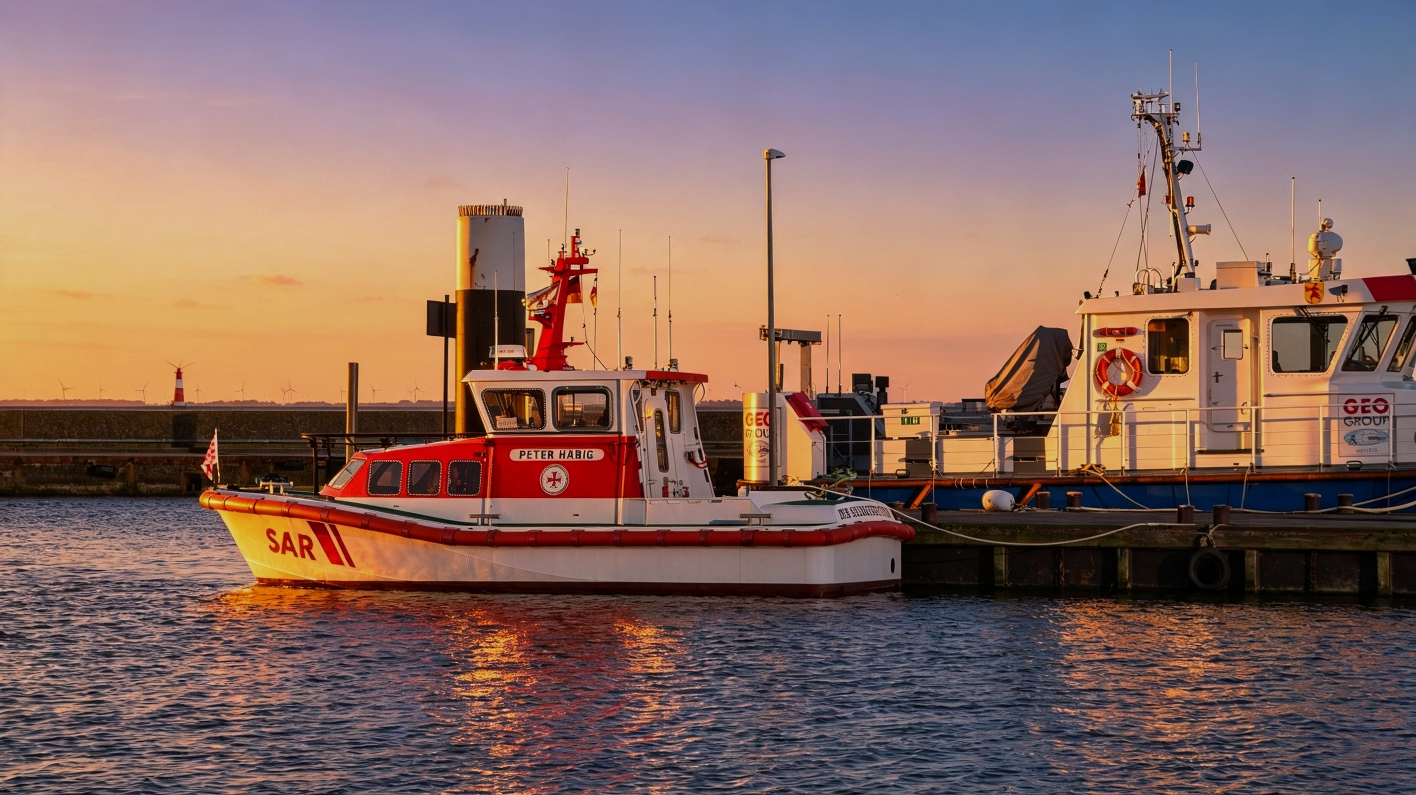
Thermal cameras support the detection of people in water, stranded individuals, and small vessels during poor weather. Our solutions can be deployed from patrol boats, coastal observation points, helicopters, and other mobile platforms.
Industrial Field Rescue

Industrial Field Rescue

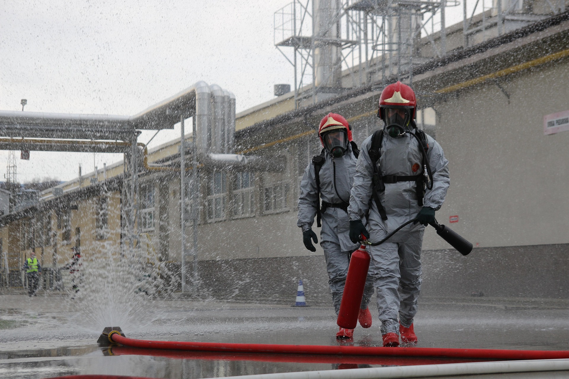
Portable thermal devices allow first responders to search while moving through forests, buildings, smoke-filled spaces, and uneven terrain. Our solutions improve mobility and support continuous field use.
Disaster Survivor Detection

Disaster Survivor Detection

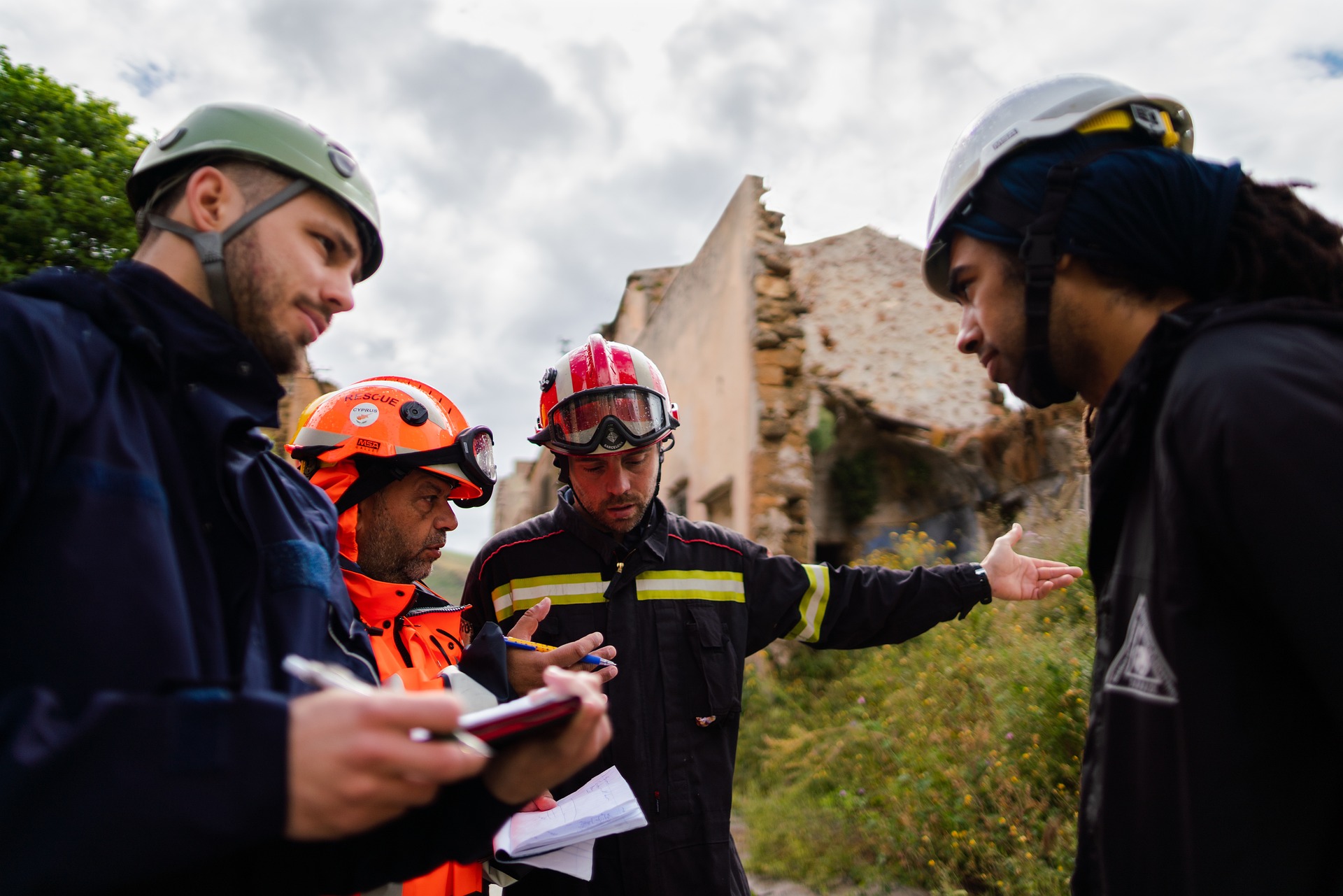
Following earthquakes, landslides, floods, storms, or structural collapses, our solutions can identify heat signatures associated with survivors. Long-range and non-contact scanning allow rescue teams to assess unstable areas before entering and prioritize locations that require immediate attention.
Featured Case Studies

Thermal-Assisted Cliff Rescue Operation
Search & Rescue

Thermal-Assisted Cliff Rescue Operation

Greece

Project Overview

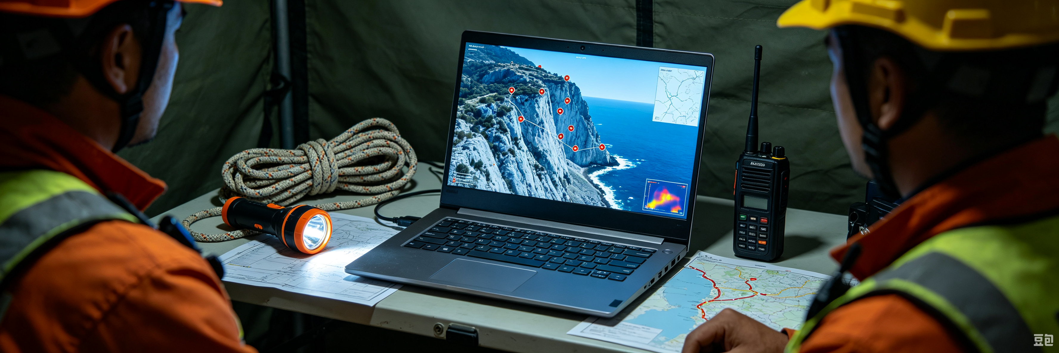
Two tourists became stranded at night in a remote cliff area where steep terrain and limited access made conventional ground searches difficult. Rescue teams deployed a drone equipped with a thermal imaging payload, visible-light camera, LiDAR, and 4G communications to scan the rocky terrain.

Solution in Action

Thermal imaging located both individuals approximately 50 metres above sea level. Their coordinates and live aerial imagery were transmitted to the command platform and shared with firefighters, coast guard personnel, and ground rescue teams. This enabled responders to verify their position, assess surrounding hazards, and coordinate a safer and more efficient rescue operation.

Key Results

2 Trapped Tourists Located

High-Risk Terrain Positioning

Multi-Agency Rescue Coordination

Request a Quote